|
This service includes:
- Assessment of Current Data. SRDP visits the different departments in the client organization to investigate and collect available and relevant data holdings.
- Integration / Cataloging of Data. SRDP performs standardization procedures on the various GIS data collected, converting them to a common coordinate system and uniform format.
- Documentation. SRDP documents all the GIS data holdings of the client organization.
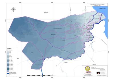
- Production of Thematic Maps. SRDP produces thematic maps based on the available GIS data, showing specific themes like elevation, building use, population density, or hazard information.
|