|
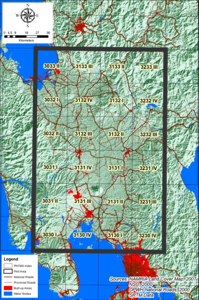
This project involved the update of 1:50,000 scale topographic maps for a selected area in Luzon Philippines using different mapping techniques using both aerial photography and satellite imagery.
SRDP provided the following services for the project:
- Development of specifications for a digital photogrammetry system and a drawing and plotting system to be installed at the National Mapping and Resource Information Authority (NAMRIA)
- Coordination of various activities of the JICA Study Team
- Technical advice on mapping and GIS
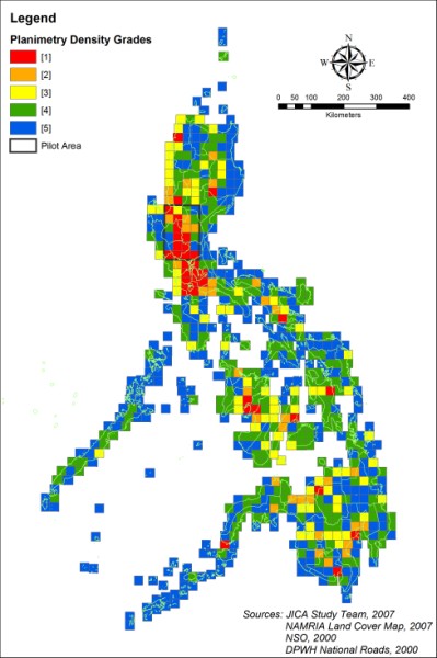
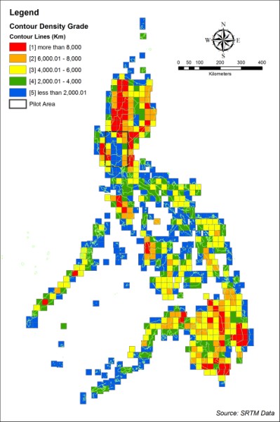
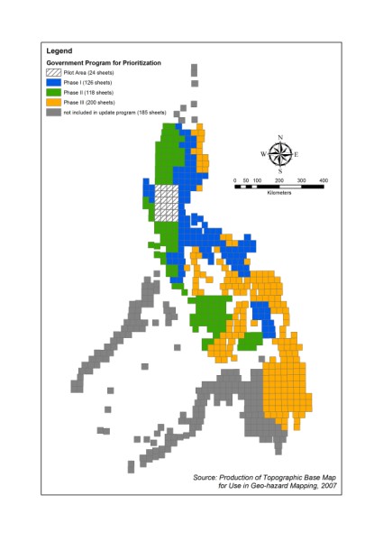
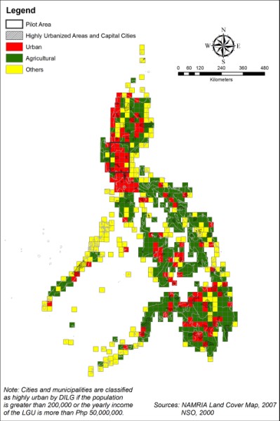
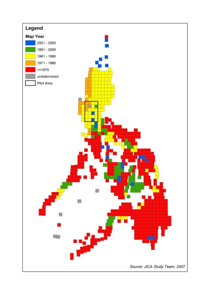
Sample Outputs:
|