- Home
- Products & Services
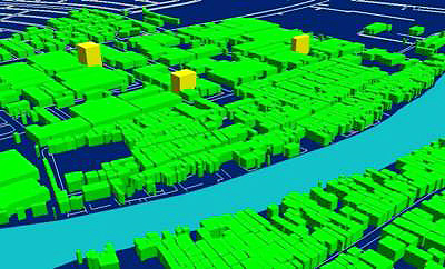
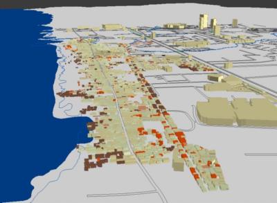
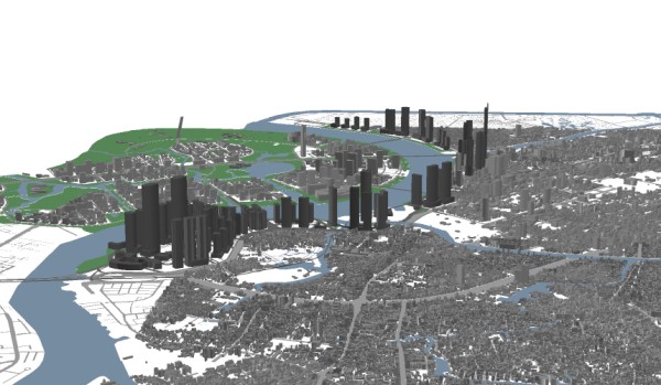
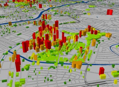
GIS Consulting GIS Training GIS Application Development Unmanned Aerial Vehicle (UAV) Mapping Manned Aircraft Based Mapping Surveying Network Information System Land Use Planning Spatial Data Integration Database Design & Building Services Tax Mapping Computer Aided Design & Drafting (CADD) Topograpic Mapping Digital Terrain & 3D Modeling Contour Mapping
- Projects
- Clients
- Careers
- Contact Us